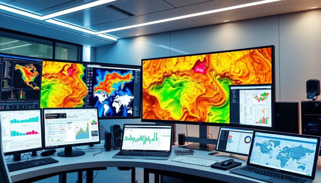
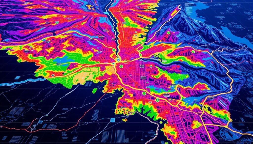
As a business professional, I’ve learned how key geospatial data analytics is. It uses geographic information systems (GIS) to analyze and visualize data. This gives businesses location-based insights to improve operations and boost revenue.
The geospatial data industry is set to nearly double by 2026. This shows how vital it is for business intelligence.
Geospatial data analytics uncovers spatial patterns and trends. It helps businesses make better decisions by considering location. With more geospatial data available, companies can make informed choices and stay competitive.
Investment research with geospatial analytics uncovers consumer behavior. It guides investment decisions. Geospatial data also helps understand how nearby businesses affect a store’s performance.
Geospatial data analysis is becoming more important in many fields. This includes retail, private equity, insurance, and utilities. It offers businesses a chance to use location-based insights to enhance their operations.
Key Takeaways
- Geospatial data analytics provides location-based insights to drive business growth and improve decision-making.
- The geospatial data industry is predicted to nearly double in size between 2021 and 2026.
- Geospatial data analytics offers insights into spatial patterns and trends, enabling more accurate risk assessments and vulnerability estimates.
- Businesses can leverage geospatial data analytics to enhance segmented analysis and insights, leading to better decision-making.
- Geospatial data analysis has a wide range of applications across various industries, including retail, private equity, insurance, and utilities.
- Geospatial data analytics can be used to guide investment decisions and understand the impact of nearby businesses on a store’s performance.
Understanding Geospatial Data Analytics Fundamentals
Exploring geospatial data analytics, I see how key its basics are. It uses geographic information systems to gather and show different types of data. This helps us understand how things move and interact in space.
The main parts of geospatial analysis are data collection, handling, and showing it. Tools like GIS and remote sensing are vital. Data collection methods, like satellite images and GPS, give us the data we need. Knowing these basics helps businesses grow and make better choices.
- Urban planning and smart cities
- Logistics and supply chain optimization
- Environmental monitoring and management
- Marketing and advertising
These examples show how useful geospatial data analytics is across many fields.
Learning the basics of geospatial data analytics lets businesses use spatial data analysis fully. This way, they can make smart choices that lead to success.
Transform Business Intelligence Through Location-Based Insights
Exploring geospatial data analytics shows how location-based insights change business intelligence. By looking at spatial data, companies can spot trends and patterns not seen in regular data analysis. This helps them make data-driven decision-making.
For example, a retail company can find the best spots for new stores using geospatial analytics. A logistics company can also cut costs and boost efficiency by optimizing delivery routes.
Studies show that location intelligence answers big questions. It tells where demand is highest and how to make delivery routes better. This info helps make strategic choices, improve operations, and engage customers better.
Some main benefits of location-based insights are:
- Improved site selection for business expansion
- Optimized customer experiences through targeted marketing
- Enhanced public services
- More efficient internal business processes

By using location-based insights in their strategies, companies can stand out in the market. Geospatial data analytics helps create dashboards and visualizations. These tools show patterns between locations, leading to smarter business intelligence and decisions.
Advanced Features of Modern Geospatial Analytics Tools
Exploring geospatial analytics, I’m amazed by the latest tools. They use artificial intelligence to automate tasks, making analysis faster. Real-time processing gives businesses quick insights, helping them act fast.
Visualization technologies make data easy to explore. This helps spot trends. Cloud computing lets businesses handle big data safely and efficiently. These features change how we use spatial data, helping businesses get more value.
Some key benefits include:
- More accurate and efficient data analysis
- Quick decision-making with real-time insights
- Scalable and secure data handling with cloud computing
- Easy data exploration with visualization technologies

Using these features, businesses can stay ahead. As geospatial analytics grows, keeping up with artificial intelligence, real-time processing, visualization technologies, and cloud computing is key.
| Feature | Benefit |
|---|---|
| Artificial Intelligence | Automates complex tasks, improving efficiency |
| Real-time Processing | Provides instant insights, enabling quick decision-making |
| Visualization Technologies | Enhances data exploration and visualization |
| Cloud Computing | Enables scalable and secure data storage and processing |
Implementation Strategies for Enterprise Solutions
Exploring geospatial data analytics shows how vital effective strategies are. We need to check our current setup, data, and analysis skills. This helps businesses smoothly move to using geospatial data analytics and get the most out of it.
Stakeholder engagement is a big part of these strategies. We talk to leaders and GIS managers to understand the company’s goals and hurdles. This way, everyone knows the company’s mission and challenges.
Here are some key points for these strategies:
- Define a clear future goal and find out what we’re missing
- Make a plan for how to get there, step by step
- Use a cycle of preparation, action, operation, and review
- Keep the plan up to date with new goals and tech
By using these strategies, companies can better use geospatial data analytics. This improves decision-making and makes operations more effective. It helps companies grow by using geospatial data analytics well.
| Implementation Phase | Description |
|---|---|
| Understand | Capture insights from stakeholders about organizational goals and challenges |
| Plan | Define a targeted future state and identify existing capability gaps |
| Act | Establish implementation cycles with prepare, implement, operate, and review phases |
| Revisit | Regularly update the plan to align with changing leadership goals and technological advancements |
Industry-Specific Applications and Use Cases
Exploring the use of geospatial data analytics shows its importance across different industries. It’s key in retail and urban planning, changing how businesses work. This technology is driving growth and innovation.
Geospatial data analytics is making a big difference in supply chain optimization. It helps companies improve their logistics, cut costs, and speed up deliveries. It’s also vital in environmental monitoring, helping track climate changes and predict disasters.
Retail and Consumer Behavior Analysis
In retail, geospatial data analytics helps understand consumer behavior. It guides where to place stores and how to manage supply chains. Businesses use it to see where people shop and tailor their products and ads.
Urban Planning and Smart Cities
Geospatial data analytics is also shaping urban planning. It helps design smart cities and improve public transport. By analyzing data, city planners can find the best spots for transport, making travel faster and easier.
Measuring ROI and Performance Metrics
Exploring geospatial data analytics shows how vital it is to measure return on investment (ROI) and performance metrics. Effective geospatial data usage helps in making better decisions by spotting patterns and trends. To truly measure ROI, businesses must account for all costs, including the initial investment and ongoing expenses.
Measuring ROI starts with setting clear goals and objectives. It’s about defining key performance indicators (KPIs) and tracking the success of geospatial data analytics efforts. This helps businesses see if their investments are paying off, find areas to improve, and make smart decisions based on data. Some important KPIs include:
- Total cost savings from geospatial initiatives, which can be 10% annually
- Percentage return on investment (ROI) achieved through geospatial investments, potentially leading to a 15% increase in sales
- Reduction in time for annual planning processes, which can be 10% due to the use of geospatial data visualizations and collaboration features
By tracking ROI and performance metrics, businesses can make sure their geospatial data analytics fit their overall strategy. This ensures they get the expected benefits.
Reflecting on geospatial data analytics’ role in business growth, I see its direct impact. Geospatial analysis leads to real business gains, like better sales and marketing results. By using geospatial data analytics and measuring ROI and performance, businesses can find new ways to grow and improve.
Conclusion: Maximizing Business Value Through Geospatial Intelligence
In conclusion, geospatial intelligence is a key tool for business growth. It helps improve decision-making and gives a strategic edge. By using location-based insights, companies can better their operations, engage customers, and boost sales.
As more geospatial data becomes available, businesses must use it to stay competitive. With advanced geospatial analytics tools, companies can find hidden patterns and predict trends. This leads to smarter decisions and more business value.
Geospatial intelligence has many uses, from retail to environmental monitoring. By adopting this technology, businesses can change their strategies. They can also improve efficiency and stay ahead in the market.


